Video + PDF
“Know Your School” - A Free GIS & AI-Enabled School Mapping and Safety Assessment Tool
Name :
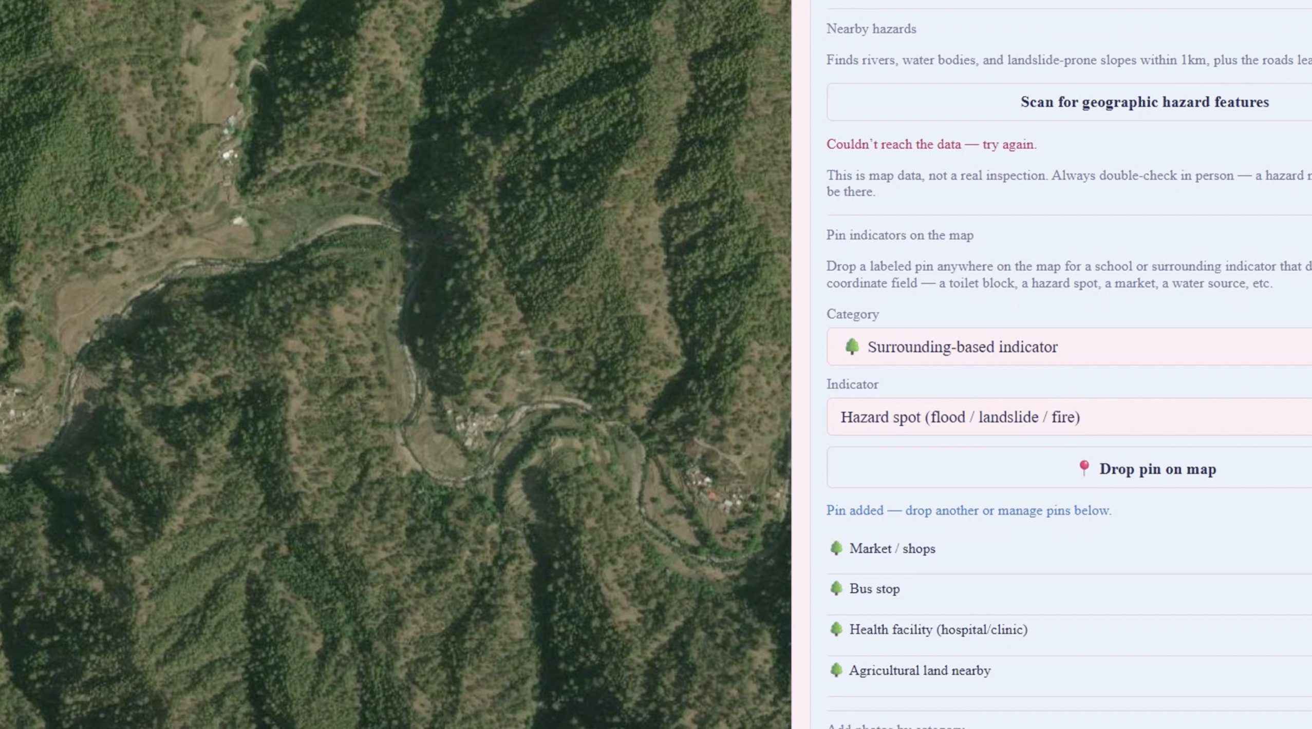
Dr.Nidhi Gusain, Many schools — especially in hilly and rural regions such as Uttarakhand — have no digitised record of their exact location, the safest route students take from home, the physical condition of their infrastructure, or the hazards in their surroundings (landslide-prone slopes, rivers, unguarded roads). This information is essential for disaster preparedness planning, safe-school audits, and route-safety decisions, yet it is rarely collected systematically, and almost never by the students themselves. Existing GIS tools (QGIS, ArcGIS, Google My Maps) either require installation, training, or a paid account, putting them out of reach for a typical school student with only a shared classroom computer or a personal phone. There is no free, zero-setup way for a student to pin their school and home, capture the route and its hazards, record structured infrastructure indicators, and generate a professional report a school or education authority can actually use.